For the past few weeks I have been a trifle unwell, a condition usually associated with children's birthday parties.
Now, lesser men might have allowed this set-back to turn them bitter, seeing the hard won progress of the last couple of years apparently dissipated in a matter of days. But not me. No, sirree Bob.
Bastard
Sorry. Where was I ? Ah right. I’ve been getting about on the level, but anything remotely “uphill”has been more problematic. However, it being a stoatin’ good day, I resolved to head for the hills. That is, in the “mole” sense of the word.

It started off innocuously enough
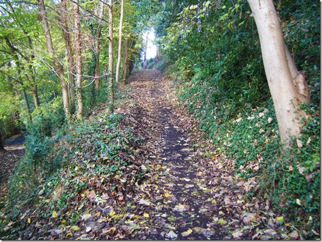
then up

More up

and again

Round about this point vertigo set in

Even more bloody up
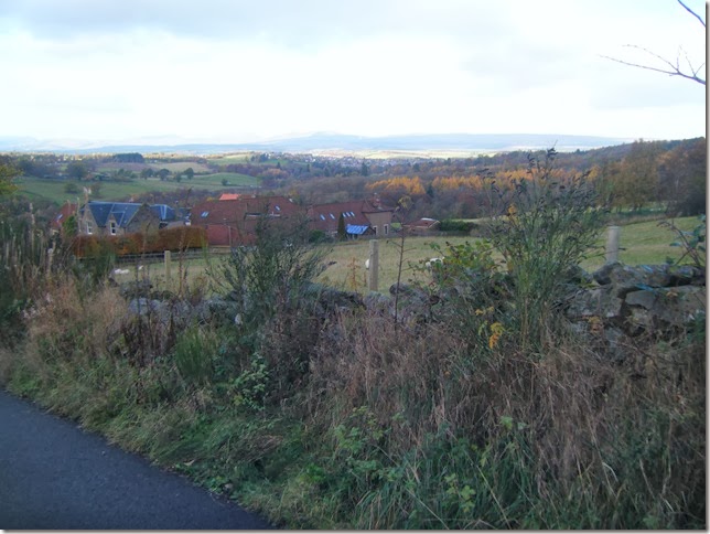
I haven’t been this high since , dunno….. Isle of Wight 1969 ?

False summit

The final approach
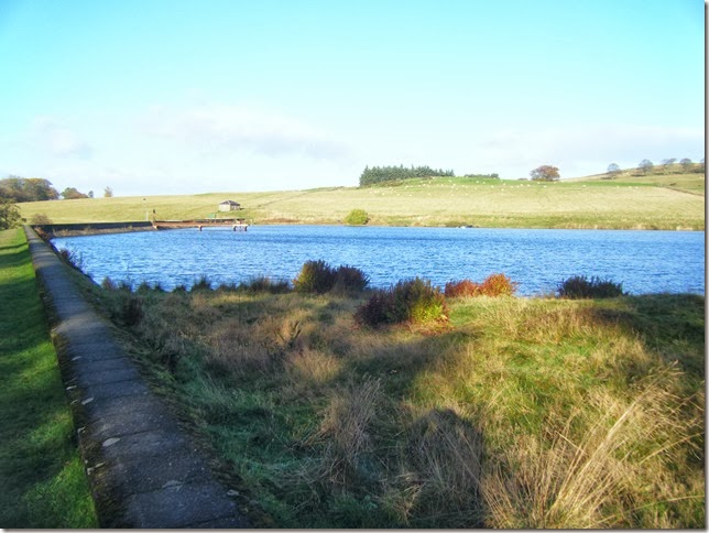
“Aw naw. It’s that feckin reservoir again, He’s always going up there”
Yes ? And so.. ?
I see this blog as a haven of cosy familiarity, acting as an antidote to the locational exoticism of, say, the Phreerunner blog. Anyway, I use these local walks to calibrate my fitness. One hour and ten minutes is the par time from my back door to sitting-on-the-dam-wall-eating-a-banana. Today – hour thirty.Room for improvement.
I completed the usual squelchy circumnavigation and trotted off home.
The GPS app (? !) on my portable telephone said 5.31 miles in just under 3 hours at an average speed of 1.78 mph and total ascent of 3609 feet. Quite satisfactory in the circums……….woah there. Haud the bus. 3609 ft ??? In my dreams.
Having consulted one of Her Majesty’s Ordnance Survey maps (non-electronic) I can confirm that the distance is about right, but the height gained was nearer 600 ft. How do these things measure altitude anyway?
You’ve been a lovely audience, and I’d like to finish,if I may, with a little ditty that has been going through my head as I write this.